Rupin Pass Trek
A crossover trek in the truest sense — from a hanging village clinging to a cliff, through frozen waterfalls, to the border between Uttarakhand and Himachal Pradesh.
Overview
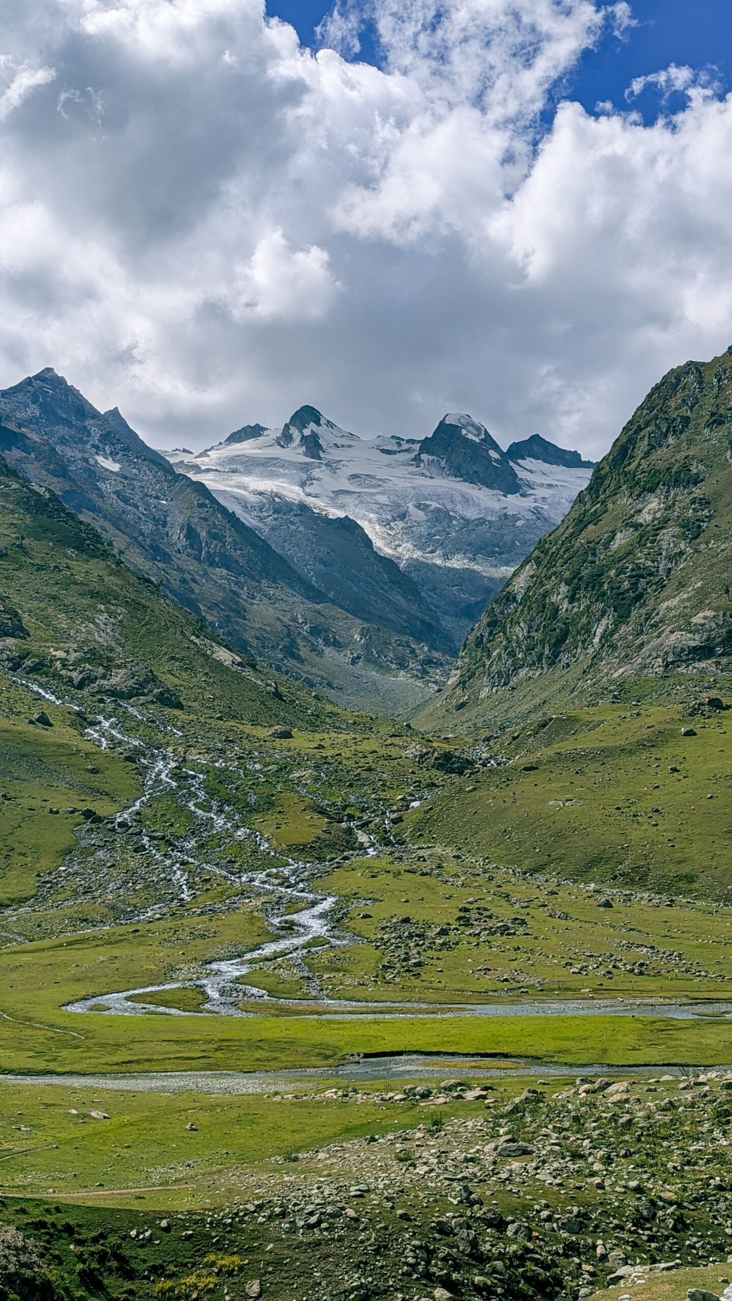
Rupin Pass is one of the Himalaya's great crossover treks, connecting Dhaula in Uttarakhand to Sangla in Himachal Pradesh over a 15,250ft pass. The Rupin River is your constant companion for most of the route, changing character at every campsite — a gentle stream near Dhaula, a frozen three-tier waterfall higher up, and finally a series of dramatic snow bridges near the pass itself.
Along the way you'll pass through Jhaka, the "hanging village," whose homes appear to climb vertically up a cliff face. The final push to the pass crosses steep, technical terrain — scree, snow bridges, and a frozen scree slope — making this a genuinely hard trek best suited to those who've completed at least one moderate-grade Himalayan trek already.
Itinerary
Things to Carry
- Trekking shoes with ankle support (broken-in, sturdy sole)
- 5+ layers incl. thermal + down jacket
- Waterproof gloves & woolen cap
- UV-protection sunglasses (glacier-rated)
- Headlamp/torch with spare batteries
- 1–2L water bottle + electrolytes
- Daypack (50L) with rain cover
- Trekking pole (strongly recommended)
- Sunscreen & lip balm (SPF 40+)
- Gaiters (for scree and snow crossings)
- Personal medication + basic first aid
- Government-ID for permits
What's Included
Included
- All entry permits & camping charges
- All meals during the trek (vegetarian, hygienically prepared)
- Accommodation per itinerary (tents/homestays)
- Experienced trek leader & local support staff
- First-aid & basic emergency equipment
- All applicable taxes
Not Included
- Transport to Dhaula / from Sangla (unless specified)
- Personal trekking gear — see checklist above
- Personal expenses & tips
- Travel insurance
- Costs from itinerary changes due to weather/roadblocks
Gallery
Rupin Pass FAQs
No — Rupin Pass is rated moderate to difficult, with a genuinely technical final push over snow bridges and scree. We'd recommend at least one prior moderate-grade Himalayan trek before attempting this one.
It's the longest day of the trek by far, crossing snow bridges and a steep scree slope at altitude, with thin air making every step count. Good fitness and prior high-altitude experience make a real difference here.
It starts in Dhaula, Uttarakhand, and ends in Sangla, Himachal Pradesh — a genuine cross-state trek. Transport arrangements differ depending on which end you're arriving from or departing to, so let us know your plans when booking.
Booking amount is non-refundable once a trek is confirmed. Cancel 30+ days before departure: 50% refund. 15–30 days before: 25% refund. Within 15 days: no refund. If Wildfern cancels a trek, you get a full refund or a free transfer to a future batch.